 |
|
|
| |
|
|
|
|
|
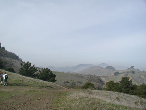
Named after Robert Sibley, the director and President of the East Bay Regional Park district from 1948 to 1958, the park features volcanic remnants from the past. Previously it was named Round Top for the tallest peak in the park, but was renamed in honor of Sibley as this was one of his favorite parks. Round Top itself is the tallest peak in the park at 1763 feet, and is one of 4 old volcanoes in this area that were active about 10 million years ago. From Round Top you can see San Francisco, Oakland and Mt Diablo. Several quarries were added over the years to bring the park to 679 acres. These quarries allow one to glimpse the structure of the volcano. The Skyline National Recreation Trail traverses the park as it connects to other parks in the area. A map available at the entrance has numbered sections that pertain to the corresponding signs in the park to give you a description of that area. Links |


| |
|
|
