| About
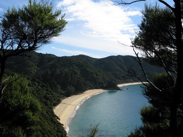
2 hours north of Totaranui is Mutton Cove. About 1/3 of the way up the
first beach you can see a creek that almost makes its way to the bay
before disappearing into the sand below. There is a campsite in the V
that the creek has formed. The trail heads inland from the campsite and
continues west about another hour to Wharlwharangi Hut, the last of the
huts along the trail. The end of the trail is only an hour from there
but no buses service it in winter. Another trail continues to the
northeast along the ridge to Separation Point, the northern most point
on the trail. You can also hike the beach beyond the campsite to
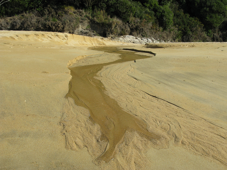
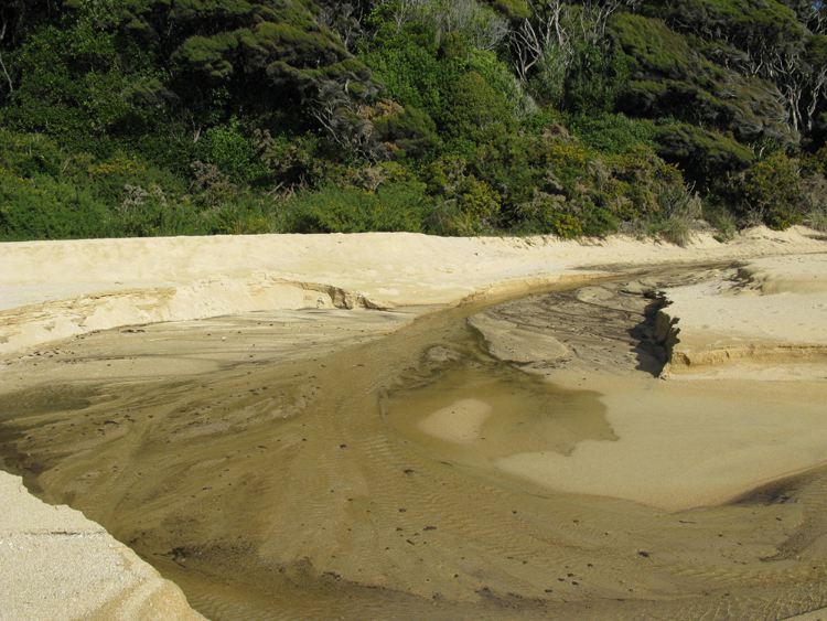
connect to that trail. Below
are two pictures of the creek in the above picture. The first is the
creek taken shortly after the above picture while the second
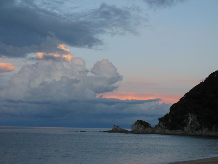
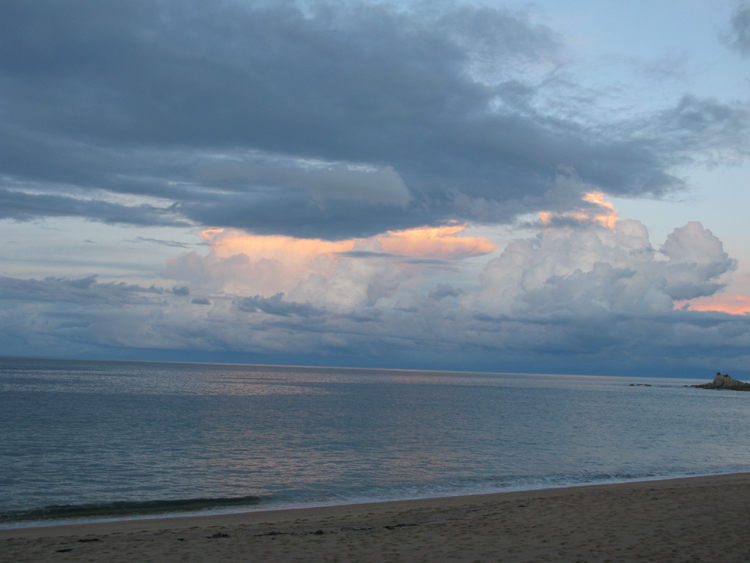
is the same creek the next day after some rain in the hills. The last two pictures below are of a storm at
sunset. It never hit so I enjoyed a dry hike. |
 ABLE TASMAN COAST TRACK
 ABLE TASMAN COAST TRACK
 ABLE TASMAN COAST TRACK