 |
|
|
| |
|
|
|
|
|
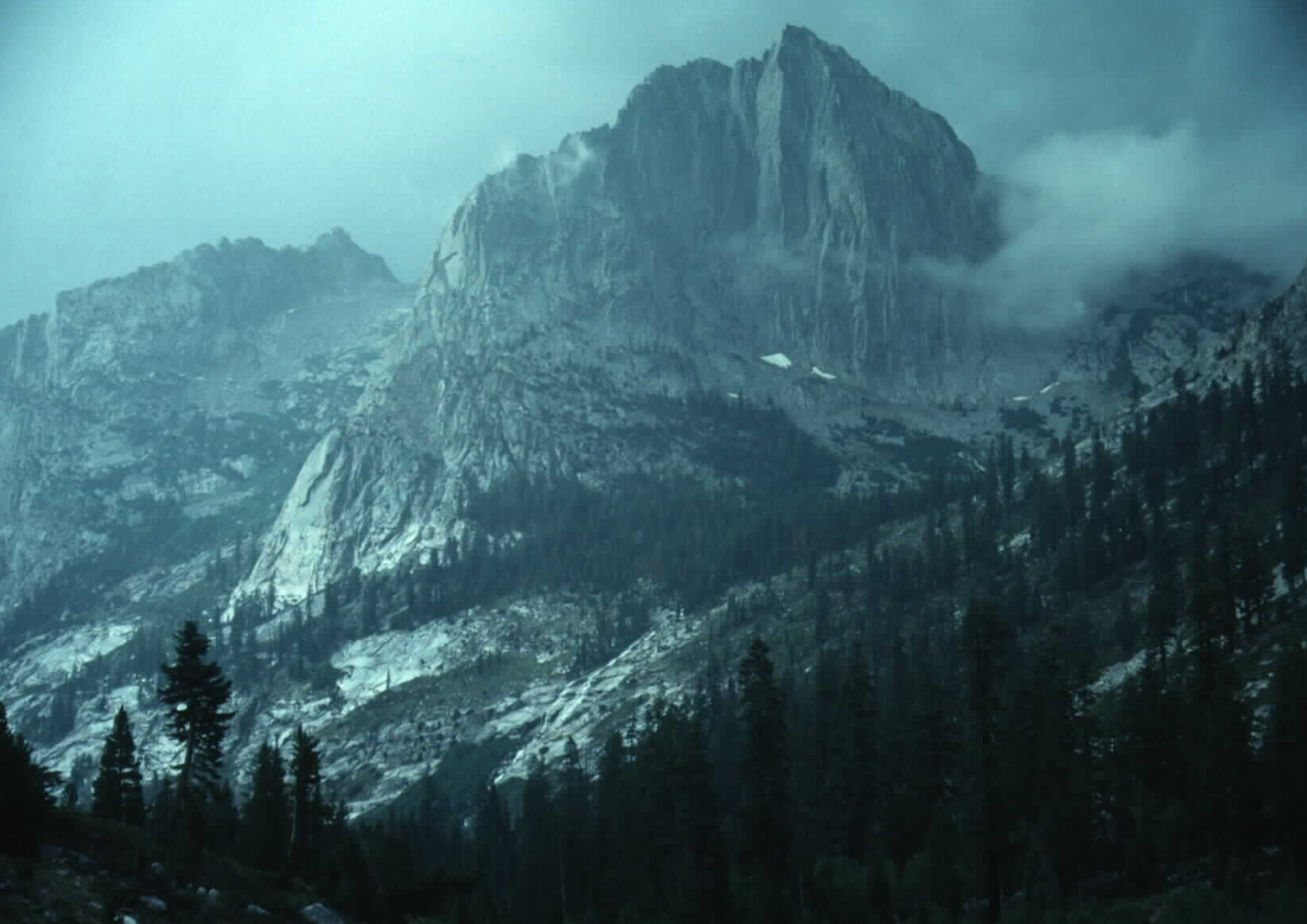
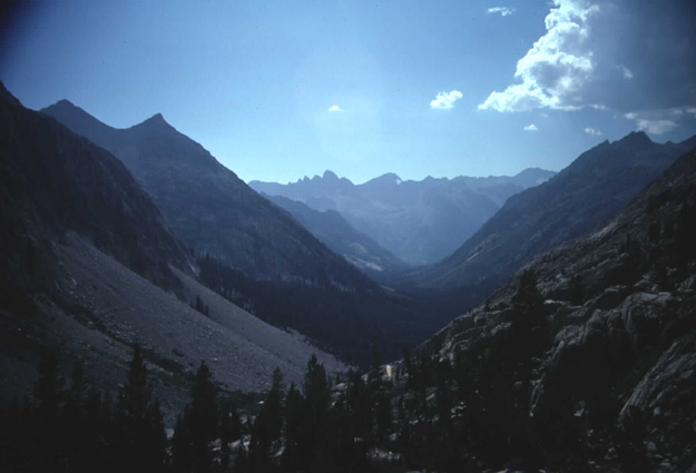
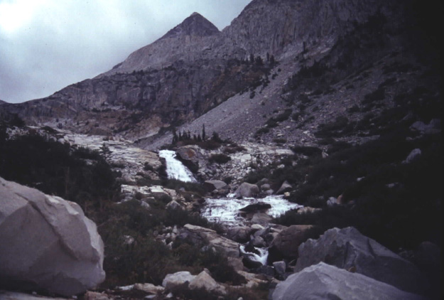
Halfway between the trail junction and the bottom of the Canyon is The Citadel at 11,738 ft. It looks more impressive in bad weather. LeConte Canyon and its creek meet Palisade Canyon and its creek 12 miles after leaving Muir Pass. The two creeks come together to form the Middle Fork of the Kings River. Both times I've reached the bottom of LeConte canyon and started up the Palisade Canyon I've given up after about a mile. I just couldn't get my legs to work going uphill after the beating they'd taken coming downhill for 12 miles. The first time I went down this trail they had just finished replacing the bridge that crosses the river to head downstream (the direction the trail used to go). Several years later when I went back to hike the John Muir the bridge was gone again. Maybe that's one reason they decided to reroute the trail up Palisade Canyon. Originally the trail went down the Middle Fork of the Kings to Cartridge Creek before heading up to Cartridge Pass. On the south side of Mather Pass near the South Fork of the Kings the map shows part of the old trail which goes over the pass to Lake Basin where it ends. One section of this trail about a mile below Lower Palisade Lake is called the Granite Staircase. I once saw a slide show at REI given by two guys that skied the John Muir Trail with the late Galen Rowell. They said Galen fell coming down the Granite Staircase and ripped the toe of his ski boot off. They ended up putting screws through the bottom of his boot directly into the ski so he was able to make it to Devils Postpile. There they were able to phone a friend to ski in with replacement boots. Galen used photos from this trip for his article on the John Muir Trail in the April 1989 issue of National Geographic. I was surprised to see what I think was a Fisher near the top of the Granite Staircase. The last picture is taken from the Golden Staircase. |
| |
|
|
