 |
|
|
| |
|
|
|
|

|
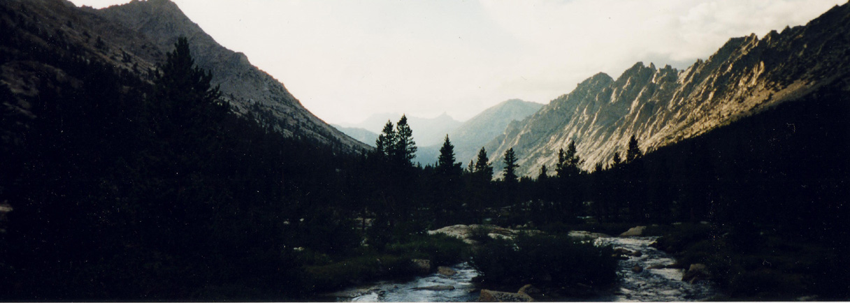
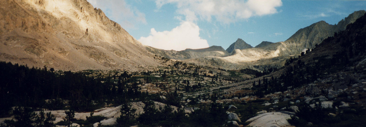
These pictures are from a panorama camera I used to have so you'll have to scroll to the right. Above is Vidette Meadow looking up canyon while below is taken looking down canyon near the Center Basin trail. The Last picture is taken from the same place looking up toward Forester Pass, the highest pass in the Sierras. Since I haven't been over the pass I can't be sure, but from looking at the map it looks like the pass is the definite notch near the center of the picture. Its only 38 miles from here to the end of the trail. Now if I can only get the time to go back and try this hike again. |
| |
|
|
