 |
|
|
| |
|
|
|
|
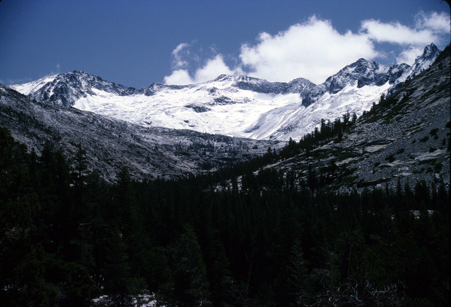
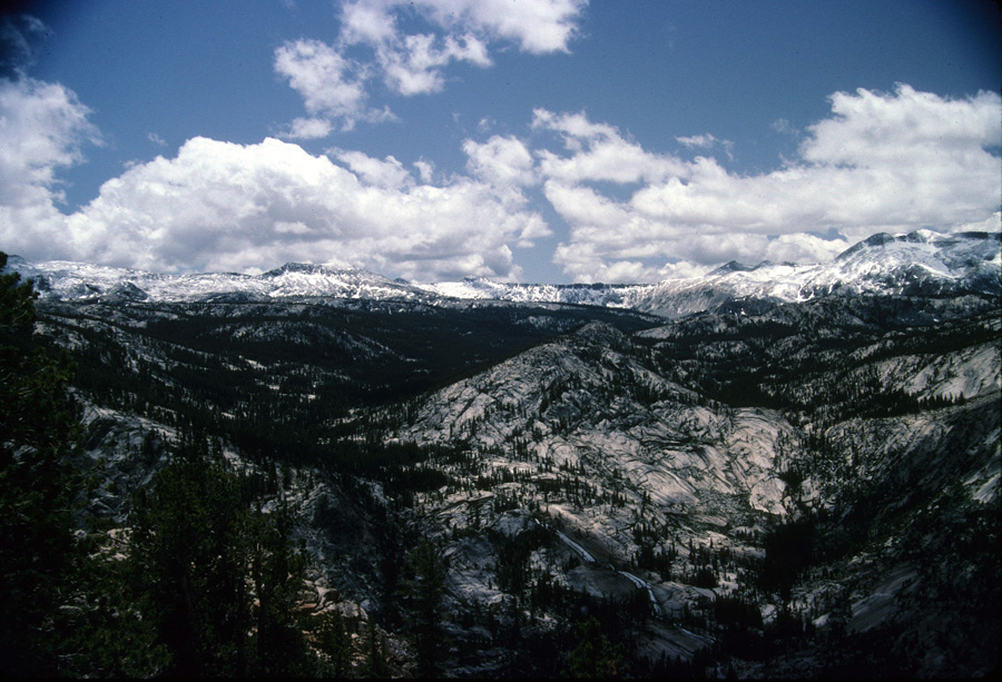
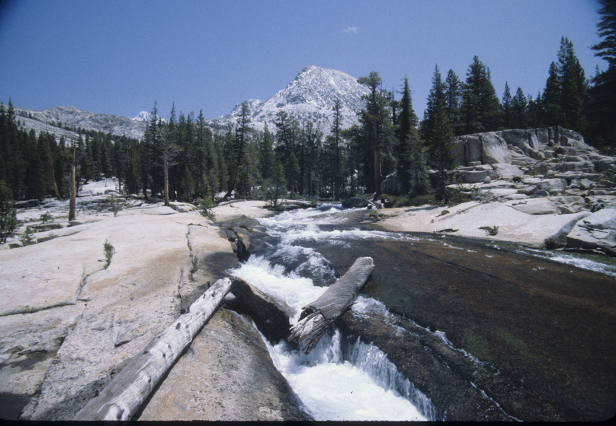
| The creek running through the rock on the previous page is seen above as it runs down the rock face. The trail follows one of the horizontal ridges in the rock as it approaches Lyell Fork. This picture was taken on the climb to the south leaving the creek. The picture below is on the climb back to the west looking up Lyell Canyon. This was on a 4 th of July weekend when it had snowed the day before. The next picture was taken at the same time, only its looking toward Iseberg Pass. |
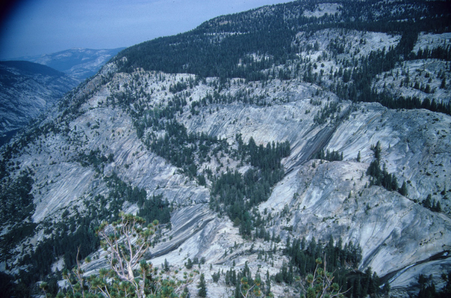
| I'm not sure about the picture of the creek below, but I'm pretty sure it was Lyell Creek itself. The last picture on this page is looking up Lyell Creek on the 1000ft climb to the south and its looking up the Hutchings Creek where there are about 7 small lakes. That is probably Rodgers Peak on the far right. |
| |
|
|
