 |
|
|
| |
|
|
|
|
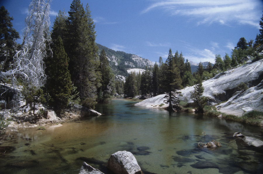
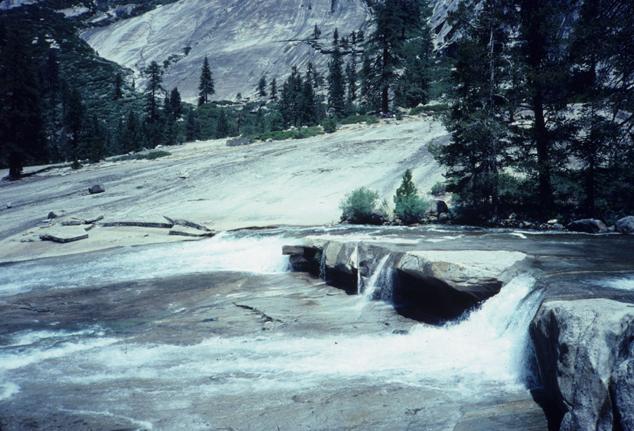
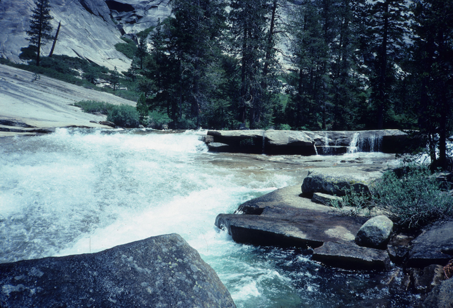
| It takes about an hour to get from Merced Lake High Sierra Camp to the bridge crossing the river at the lower end of Echo Valley. Echo Valley has been burned out by several fires over the years. Any camping in it is usually done at one of the three places that trails enter the valley. The downstream view from the bridge is quite a bit different than the upstream view with the river starting to drop. |
|
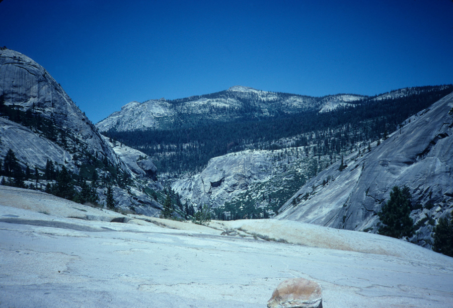
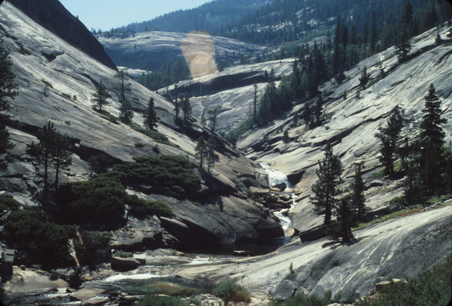
Leaving the bridge the trail climbs up before it starts its descent. In the above picture you'll notice a dark green band of trees. The John Muir Trail follows this band of trees on its gradual climb. There are several trail junctions with it in this area. The band is the result of glaciers flowing down the canyon and creating a lateral moraine along its edge, 2000 feet above the bottom of the canyon. On a Columbus Day weekend I followed bear tracks (the same bear I'd chased off at Washburn Lake several days before, and Merced Lake the night before, a sow with 3 cubs) from Merced Lake to Echo Canyon. I lost the tracks in this area. The picture below is one of my favorites however, I can do without the bone jarring descents it took to get it but I'd do it again. Its looking up canyon. |
|
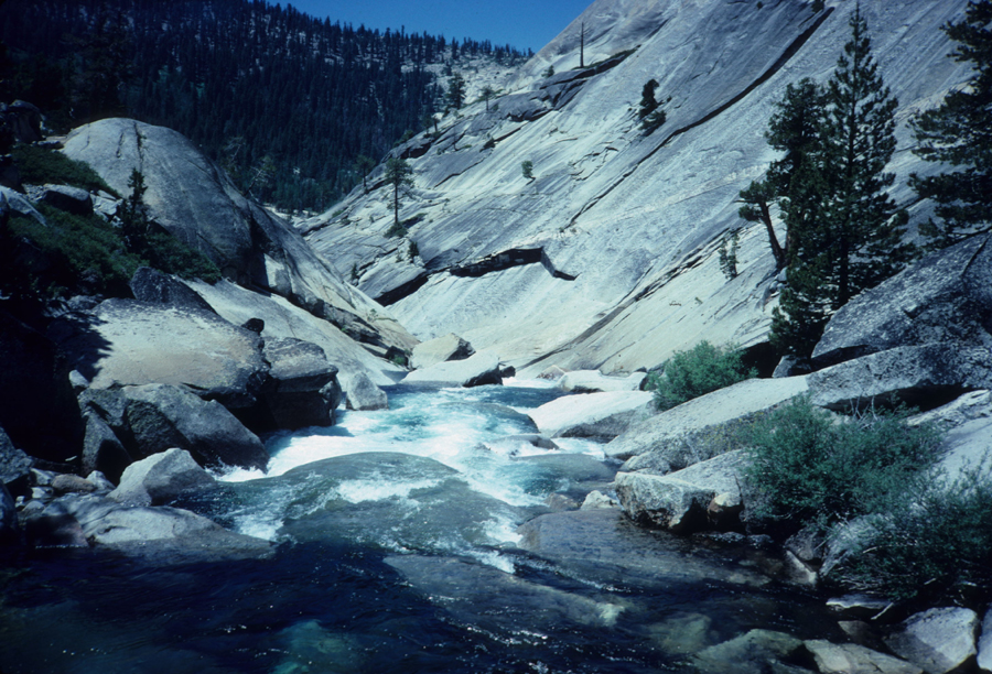
Almost to the bottom of the descent. The trail climbed up the granite slab about 1/4 of the way from the top of the picture, crossed through the trees and then started its descent. It takes an hour to hike from the bridge to the ledge below, which is a great place to take off your boots and cool off your feet in the river. Just don't walk too far out. Glaciers scoured these canyons. Below you might see the horizontal scratches (look near the top center of the picture) left in the rock by the glaciers. This was caused by rocks picked up in the bottom of the glacier. These same glaciers also polished the rock. You'll see polished rock in areas, but often its flaked off. |
| |
|
|
