 |
|
|
| |
|
|
|
|
|
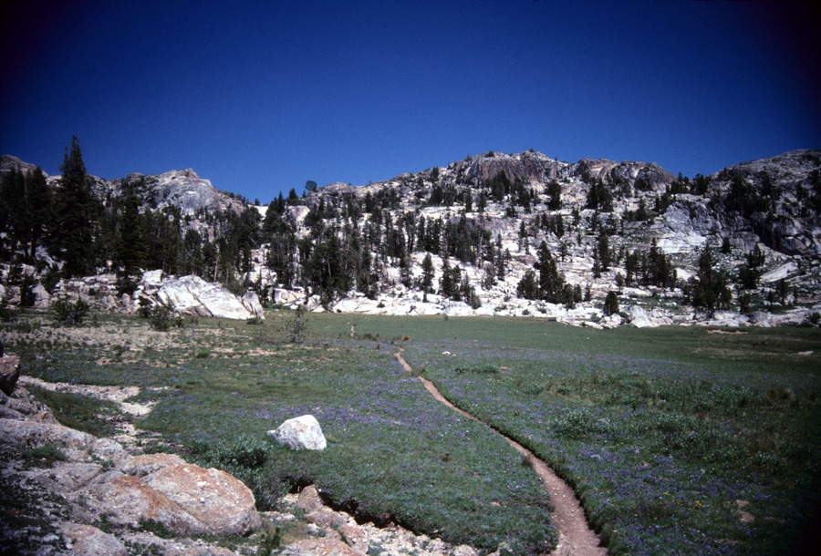
Leaving Smegburg Lake you'll pass through a small meadow. Hopefully horse packers are no longer pounding stakes into the pools in the meadow to tie their horses to. Benson Pass is about an hour climb up to the left. Once I was making this climb when a Golden Eagle soared out of a tree about 10 feet above my head. Below is a view looking back over the area in the above picture with Volunteer Peak dominating the sky. You can just make out the trail in the meadow. |
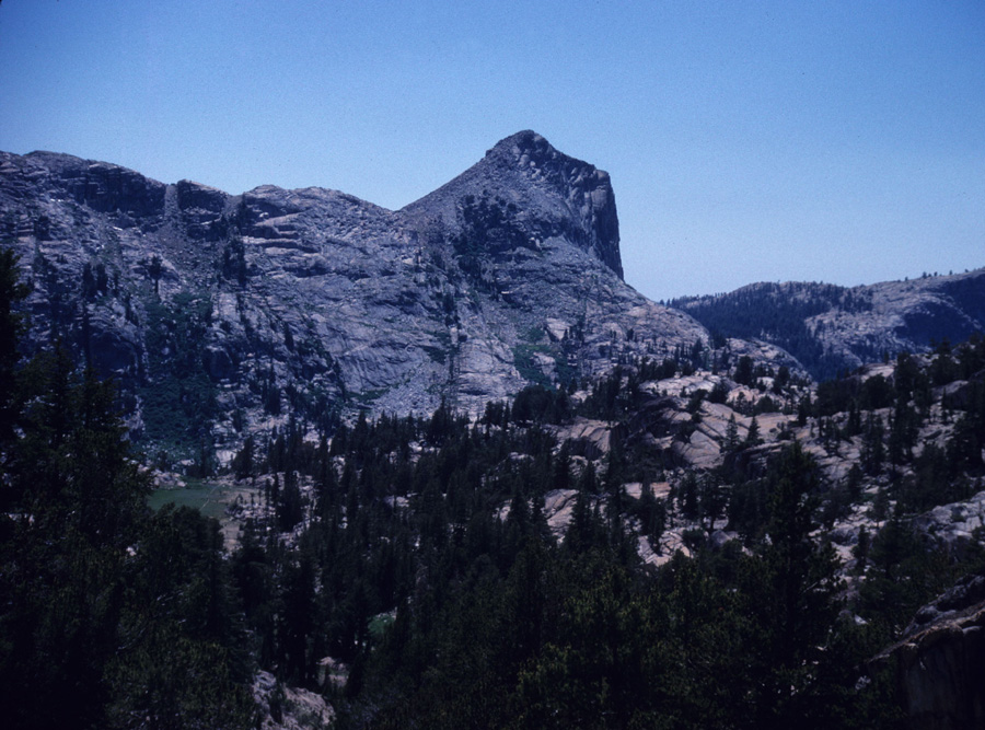
| Benson Pass below. Trail junctions and Passes are well marked as seen below. Its only 23.1 miles to Tuolumne Meadows. The PCT descends to the right. Wilson Creek comes down the canyon in the background. |

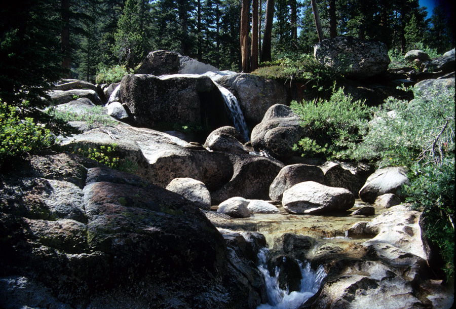
| Just a picture of the creek where I camped half way down Benson Pass to Matterhorn Canyon. I prefer such campsites over lakes. Much more privacy, and great for exploring. |
|
|
| |
|
|
