 |
|
|
| |
|
|
|
|
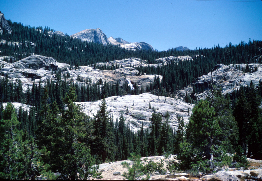
| Heading north from Glen Aulin you can look back at White Cascade. On one of my hikes in this area there were big thunderstorms in the area. Fourtunately for me, the rain meant water in the creeks that would otherwise would have been dry. |
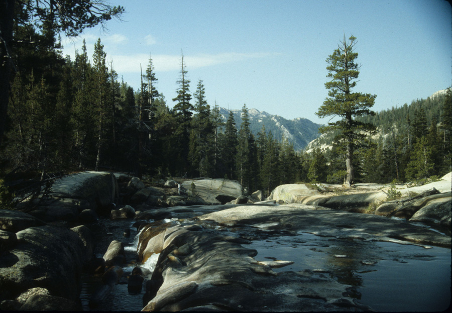
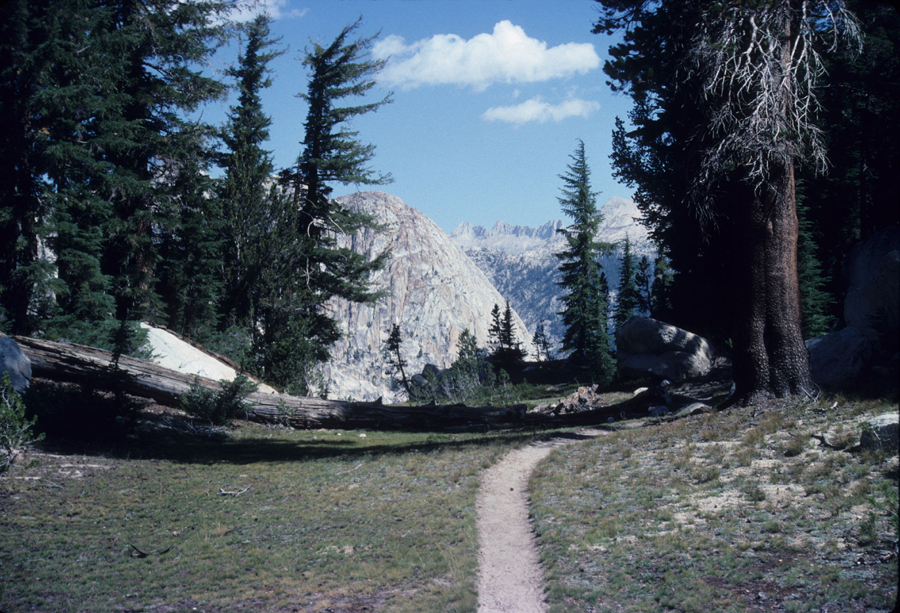
| The trail from Glen Aulin north is an easy one. After a short climb you pass through a forested area for a few miles before reaching Cold Canyon, which is more a meadow. After a couple miles in the meadow you pass back into the trees for more gentle climbing till you reach a junction with the McCabe Lakes trail. The trail then decends to a crossing at Return Creek. It then starts to climb along Spiller Creek, and then up to Miller Pass before starting the descent to Matterhorn Canyon. There is a faint trail going up Spiller Canyon. I believe its farely easy to reach Twin Lakes using this trail. |
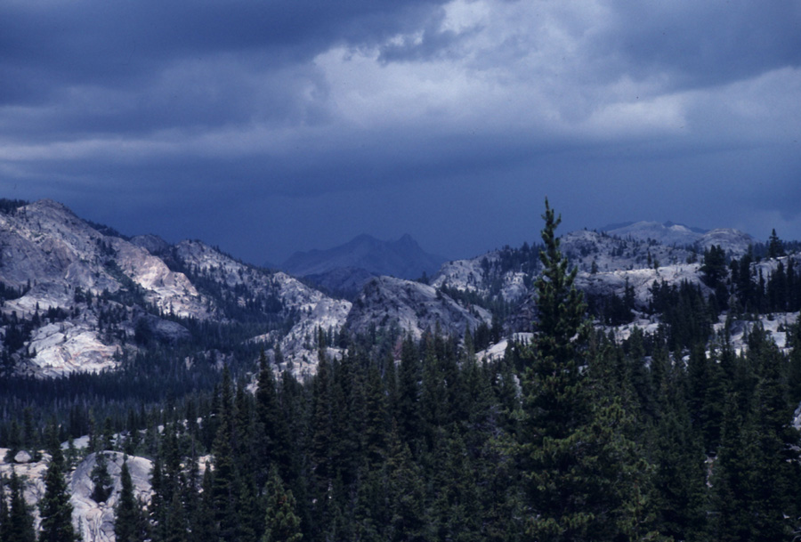
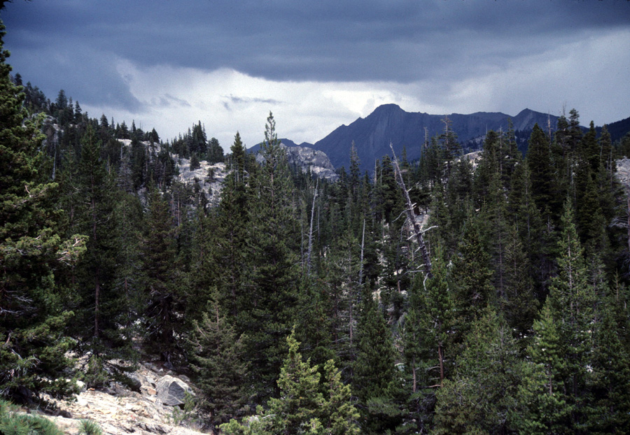
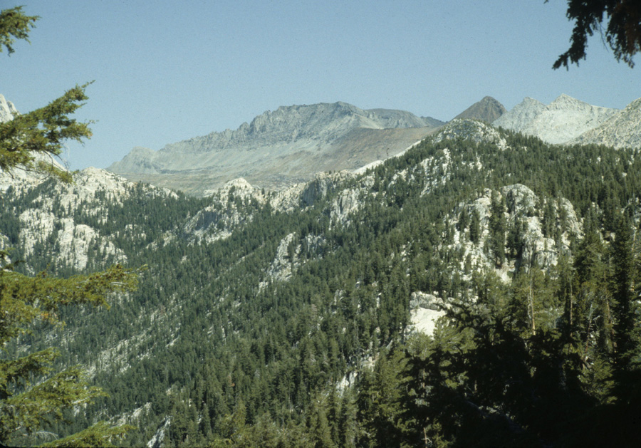
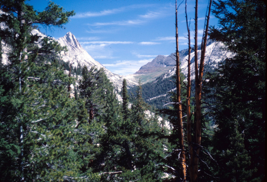
| Below are two pictures looking toward the Summit Pass area. |
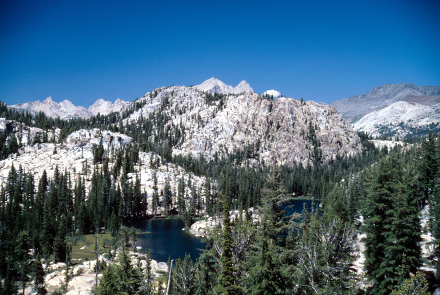
| Below is a small lake off the PCT, which follows along the edge of the trees beyond the lake, and then following the trees up to the left toward Miller Lake. From nearby there are some great views toward Tuolumne Meadows, with Mt Lyell in the distance. |
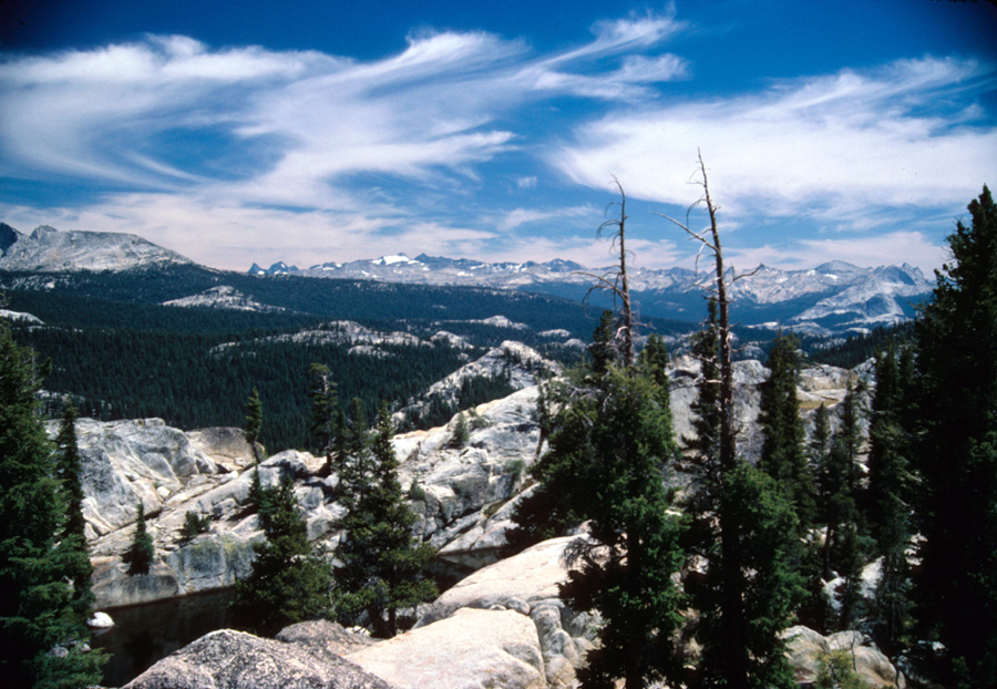
| Miller Pass below, named for the Calvary Sargeant(?) that discovered it. Matterhorn Canyon is visible below, with Sawtooth Ridge in the distance. |
| |
|
|
